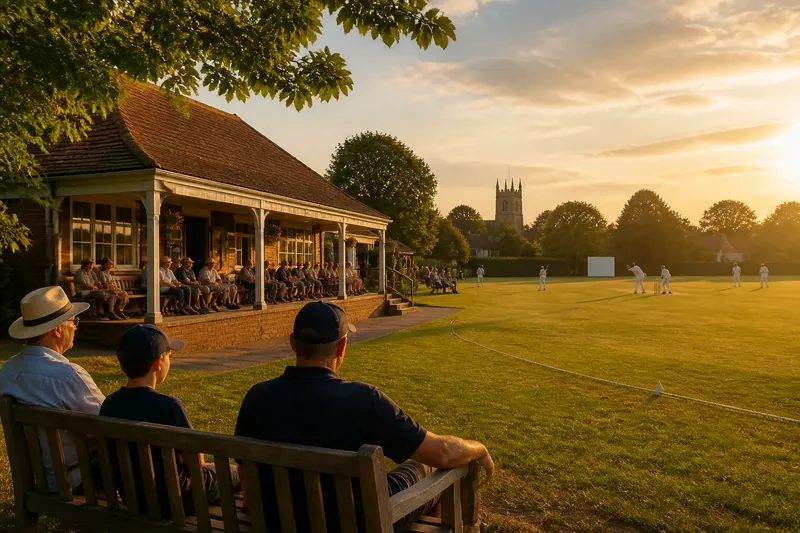
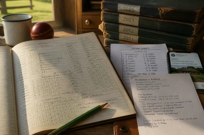
The Myth That Every Village Ground Is a Green
Village cricket grounds are not all open greens. Learn to read boundaries, trees and neighbouring buildings to understand what makes each setting distinct.
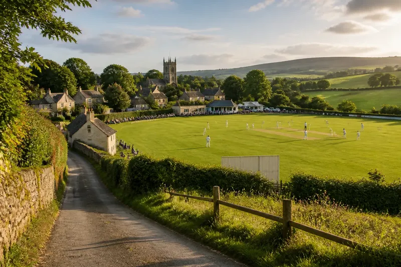
The common mistake is to expect every village cricket ground to be an open green, and that can make its setting seem interchangeable with any other field. A ground may sit behind a school, beside a lane, or in a hollow between cottages and farmland; its character often lies in how those surroundings meet the playing space. To understand a village cricket ground setting, look beyond the outfield to the landforms and buildings that give the place its own shape.
A village cricket ground setting begins with the land
Notice whether the ground is level with the surrounding lanes or sits lower behind a bank. A slight rise can hide the village from one side, while a dip may bring rooflines into view above the boundary. The pitch and outfield occupy a particular patch of land, but the contours around them can make that patch feel sheltered, exposed or unexpectedly close to the settlement.
Look for practical clues rather than guessing at the ground’s history: a retaining wall, a sloping approach, a ditch beyond a hedge, or a lane that climbs past the field. These details describe what is visible without turning the landscape into an unsupported story about how the club began.
Keep to public routes and authorised viewing areas. A bank or track beyond the boundary may look like a convenient shortcut, but it could be private or unsafe.
Landmarks give the setting its local character
A church tower, a village sign, a railway embankment or a distant ridge can locate a ground in its surroundings more clearly than a broad view of the outfield. Some landmarks appear only from one end, while others sit behind the bowler’s arm or peek above a line of cottages. Their changing visibility gives the ground a distinctive sense of place.
Notice which landmark remains visible as you move between permitted viewing spots. A tower that disappears behind trees from one side may appear above the pavilion roof from another. That contrast is more useful than simply listing everything nearby: it shows how the ground and settlement relate in the view.
Imagine you arrive at a fictional ground where a church tower is visible only from the northern edge, while a low ridge appears beyond the opposite boundary. If you compare those two views, you can describe the setting as framed by village buildings on one side and open higher ground on the other. The observable result is a precise account of the place, without claiming anything about its origins.
Buildings and countryside create different backdrops
Nearby buildings can make a ground feel woven into village life, but their position matters more than their style. Cottages behind one end, a school wall along a side, or farm sheds in the distance create different relationships between the playing field and the settlement. Compare what sits close to the ground with what appears only on the horizon.
Beyond the boundary, the outlook might be allotments, pasture, a wooded slope or the backs of houses. These surroundings are not merely scenery: they help you describe whether the ground feels tucked among buildings or set against a broader rural view. Avoid assuming that a nearby building belongs to the cricket club unless signs or local information confirm it.
A useful description is specific: “The field sits below a row of cottages, with pasture visible over the far hedge.” It tells a reader more than calling the place picturesque.
How can you read the setting without guessing?
What should you notice beyond the boundary?
Look for landforms, landmarks and the nearest visible buildings, then note where each appears in relation to the pitch. If a boundary or access point is unclear, follow club signs or ask an organiser rather than crossing into an uncertain area.
Can one viewpoint tell you what the ground is like?
Usually, a single view hides something: a bank may screen the village, or trees may obscure the countryside. Compare two or three authorised positions, if available, and describe the contrast you can actually see.
How do I describe a ground without calling it a typical green?
Name the visible features and their positions, such as a lane beyond one side and a ridge behind the far end. Leave out claims about the ground’s age or origins unless reliable local information supports them.
Where can I look around safely?
Stay in marked spectator areas and on public paths, and avoid private gardens, steep banks or restricted tracks. If a route is not clearly open to visitors, ask club staff before using it.
A short check keeps the description grounded
As you look around, use these observations to decide what belongs in your description. Each one points to a practical choice, not a guess about the ground’s past.
- Check whether the ground sits level with the lane or below it; if a bank or slope is visible, describe the change in level, and otherwise say the field appears level from your viewpoint.
- Check which landmark is visible from your permitted position; if it can be named confidently, include it and where it appears, and otherwise describe its shape or leave it out.
- Check whether nearby buildings stand directly behind a boundary or far beyond it; if they are close, describe the ground as closely bordered by buildings, and if distant, describe them as part of the wider outlook.
- Check whether the view beyond the field is pasture, woodland, gardens or rooftops; if one is clearly visible, name it, and if several compete, mention only the most prominent.
- Check for signs, barriers or club directions near an uncertain route; if access is authorised, use the marked path, and if it is not clear, stay back and ask an organiser.
- Check whether a landmark remains visible from another authorised spot; if the view changes, describe that contrast, and if it does not, choose a different visible feature rather than repeating the same detail.
Say you are at an invented ground with a sloping lane on the west, cottages behind the southern end, pasture beyond the east hedge and a church tower visible only from the northern spectator area. First, you note the slope and avoid treating it as an entrance; next, you compare the authorised northern and southern views; then, you record that the tower appears from the north while cottages frame the south. Your resulting description is: “The ground lies below a sloping lane, with cottages at one end, open pasture beyond the hedge and a church tower visible from the northern viewing area.” If a club sign barred that northern route, the practical choice would be to omit the tower rather than enter a restricted area.
Describe the place with details you can verify
A thoughtful account of a village cricket ground setting does not need elaborate language. Mention the slope, landmark or neighbouring landscape that makes this field distinct, and place each detail in relation to the playing area. If you cannot tell whether a track is public or whether a building belongs to the club, leave that point open rather than turning uncertainty into fact.
That small discipline makes descriptions more useful to fellow spectators and easier to remember later. The setting is not simply an empty frame around the match: it is the particular meeting of ground, village and countryside that you can see from where you are allowed to stand.